


Oxford And Surrounding Area - Landranger 164
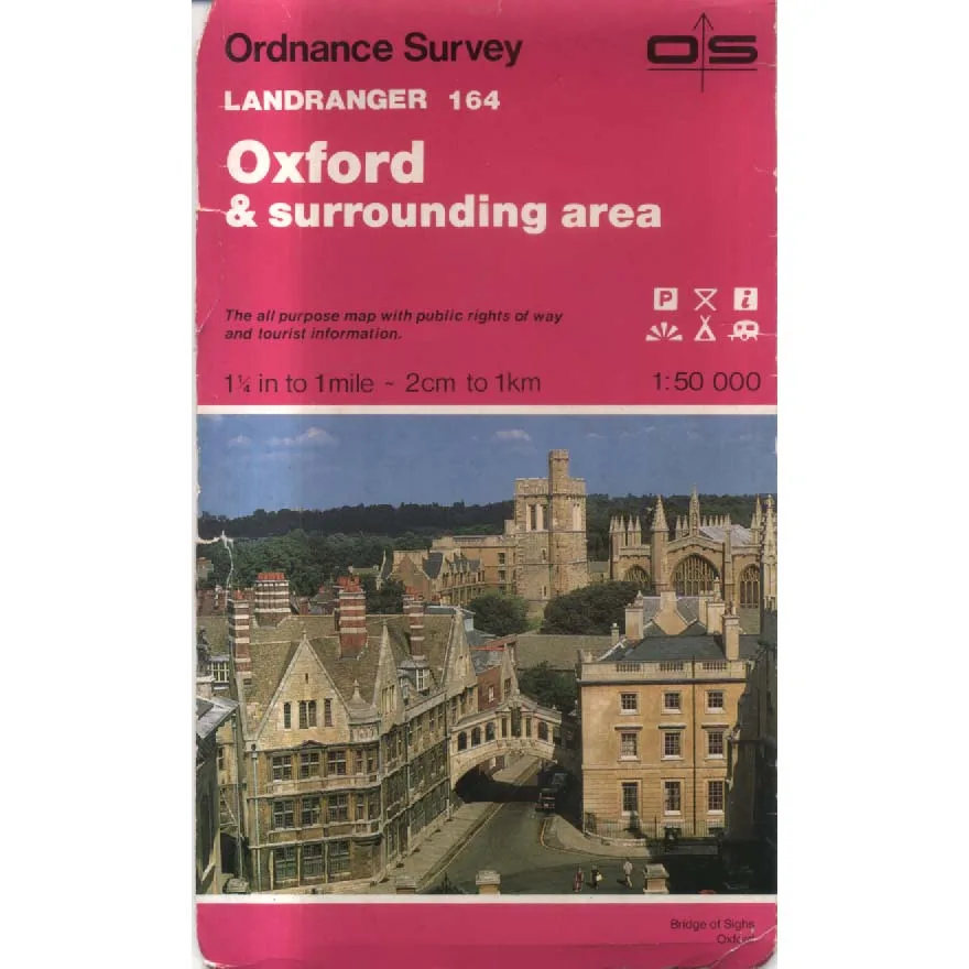
Publisher: Ordnance Survey
Format: Paperback
ISBN: none
Oxford and Surrounding Area – Landranger 164 (1985) – Ordnance Survey
Ordnance Survey | Landranger Series | ISBN: None
Condition: Good | Sold by Crappy Old Books
Oxford. The city of dreaming spires, ancient colleges, distinguished academics and an apparently inexhaustible supply of bicycles being ridden by people who regard traffic regulations as interesting philosophical propositions rather than binding legal requirements. Beyond its magnificent university buildings, however, lies an equally fascinating landscape of market towns, picturesque villages, rolling countryside and winding roads, all waiting to be explored by anyone possessing a sense of adventure and a sufficiently large sheet of paper.
Welcome to Oxford and Surrounding Area – Landranger 164, a splendid 1985 Ordnance Survey map from the glorious age when finding your way around Britain required actual geographical knowledge, rather than asking a small electronic device to explain why you have just driven into a farmyard.
Produced at the wonderfully practical 1:50,000 scale, this Landranger map offers a detailed picture of Oxford and the surrounding countryside, recording roads, railways, settlements, rivers, woodland and the countless geographical features that make Britain’s landscape so wonderfully complicated.
Oxford itself provides a magnificent centrepiece. Its historic university, established over centuries of scholarly endeavour, has produced generations of philosophers, scientists, politicians and literary figures, many of whom subsequently devoted their considerable intellectual abilities to making the world even more difficult to understand.
But the appeal of this map extends well beyond the city’s celebrated academic institutions.
The surrounding Oxfordshire landscape offers an attractive mixture of historic market towns, agricultural countryside, peaceful villages and river valleys. Here, the Thames winds through the countryside, ancient roads connect settlements whose origins stretch back centuries, and the occasional country pub provides a reassuring reminder that civilisation has achieved something genuinely worthwhile.
Published in 1985, the map is also a fascinating historical snapshot of the area before four decades of development, road improvements, expanding settlements and the gradual transformation of formerly rural land into housing estates, commercial premises and roundabouts large enough to require their own geographical coordinates.
For local historians and collectors, this is where vintage Ordnance Survey maps become particularly entertaining. Comparing old and modern editions can reveal vanished features, altered roads and the astonishing speed with which a perfectly respectable field can become an industrial estate.
There is something wonderfully satisfying about traditional paper cartography. It requires no batteries, suffers no software updates and never announces that your destination is on the left when you are quite clearly travelling along the edge of a reservoir.
Admittedly, it does require the user to understand which way is north, an ability that modern technology has apparently rendered optional.
This 1985 Ordnance Survey Landranger Sheet 164, offered in Good condition by Crappy Old Books, is an appealing acquisition for walkers, vintage map collectors, local historians and anyone interested in Oxfordshire’s changing landscape.
A charming geographical record of Oxford and its surroundings during the mid-1980s, when planning an expedition involved spreading an enormous map across the kitchen table and arguing over the most suitable route.
And if you became hopelessly lost, there was always the comforting knowledge that Oxford contained thousands of exceptionally intelligent people.
One of whom might even know the way home.
Keep browsing: See more Maps books Other books by Ordnance Survey
